The ocean covers about 70 percent of Earth’s surface, yet its deepest regions remain among the least explored places on the planet. Below a few hundred meters, sunlight fades to nothing, temperatures drop near freezing, and pressure rises to levels that would crush an unprotected submarine. For most of human history, this vast realm was essentially out of reach.
That is changing. Advances in robotics, sensors, and mapping technology are allowing scientists to explore the deep sea with greater detail and frequency than ever before. What they are finding is reshaping our understanding of life, geology, and the planet’s climate systems.
Why the Deep Sea Is So Hard to Reach
The defining challenge of deep-sea exploration is pressure. For every 10 meters of depth, water pressure increases by roughly one atmosphere. At the bottom of the deepest ocean trenches, nearly 11 kilometers down, the pressure is more than a thousand times what we experience at sea level.
Equipment must be engineered to withstand these forces, which requires thick hulls, specialized materials, and careful design. Darkness is another obstacle; vehicles must carry their own lights, and visibility is often limited to a few meters. Radio waves do not travel well through seawater, so communication with surface ships typically relies on tethers or acoustic signals, which carry limited data.
Then there is scale. The deep ocean floor is enormous, and research vessels are expensive to operate. Expeditions must choose their targets carefully, often guided by maps that show only broad features.
The Tools of Modern Exploration
Scientists now use a combination of technologies to study the deep. Each has strengths suited to different tasks:
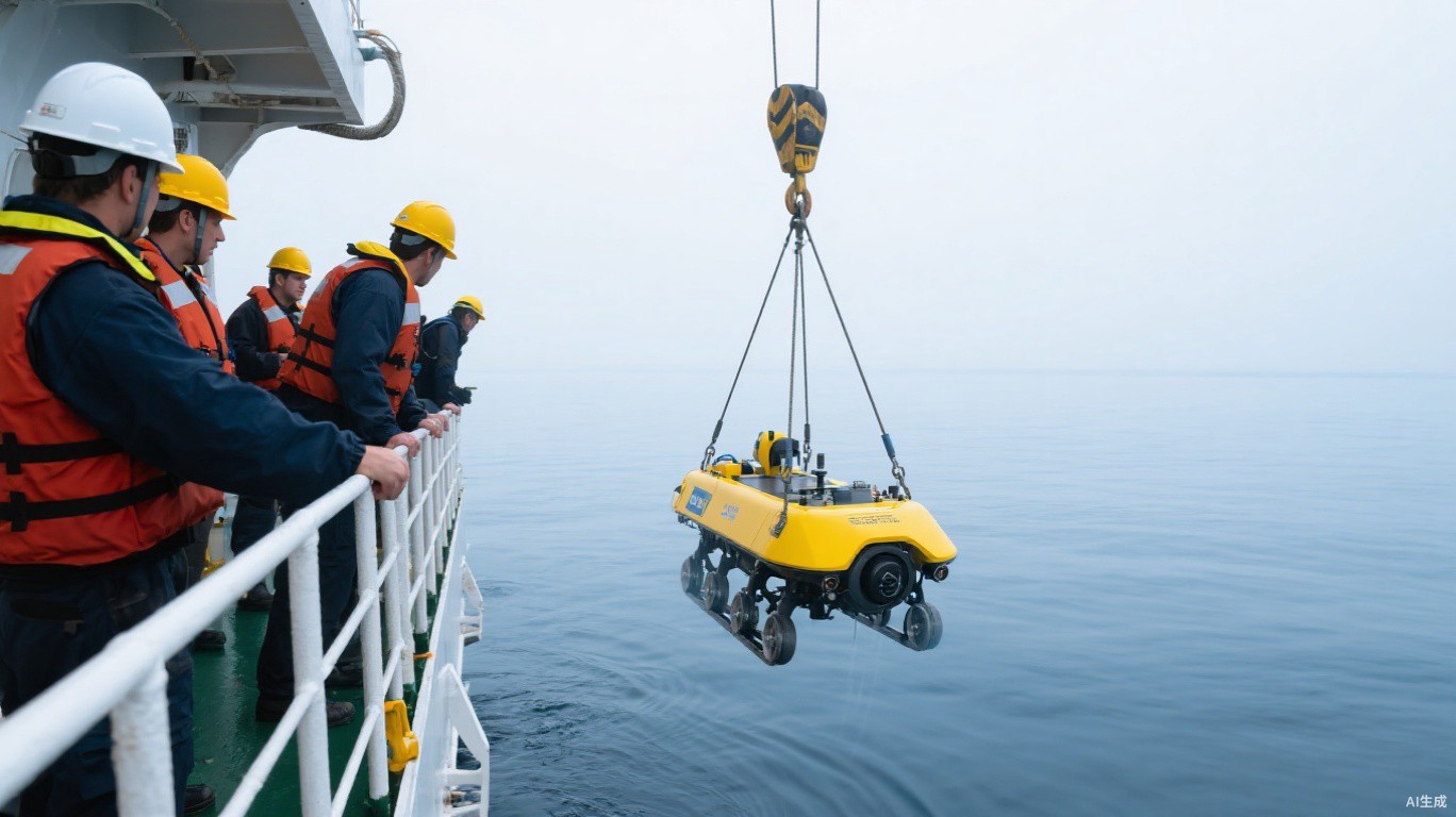
- Remotely operated vehicles (ROVs) are tethered robots controlled from a ship. They carry cameras, lights, and robotic arms for collecting samples, and can stay submerged for long periods.
- Autonomous underwater vehicles (AUVs) operate without a tether, following preprogrammed routes to map the seafloor or collect water measurements over wide areas.
- Crewed submersibles carry a small number of researchers to great depths, offering direct observation that some scientists value highly.
- Multibeam sonar mounted on ships sends sound pulses to the seafloor and measures their return, producing detailed maps of underwater terrain.
- Seafloor observatories use cabled sensors to monitor conditions continuously over months or years.
High-definition cameras and live video feeds have also transformed how expeditions work. Scientists on shore can watch dives in real time and advise the team at sea, and some expeditions stream footage publicly, allowing anyone with an internet connection to follow along.
Life Where No Sunlight Reaches
Perhaps the most remarkable discoveries in deep-sea science involve life itself. In the twentieth century, researchers found ecosystems clustered around hydrothermal vents, openings in the seafloor where mineral-rich, superheated water flows out from beneath the crust. Instead of relying on sunlight, these communities depend on microbes that derive energy from chemicals such as hydrogen sulfide, a process called chemosynthesis.
Vent ecosystems host tube worms, clams, shrimp, and other animals adapted to conditions once thought incompatible with life. Similar communities exist at cold seeps, where methane and other compounds leak slowly from the seafloor.
Beyond these hotspots, the deep sea is home to a dazzling variety of creatures, many of which produce their own light through bioluminescence. Expeditions routinely encounter species that have never been formally described, and scientists believe a large share of deep-sea life remains unknown.
“We often come back from a single dive with organisms we can’t immediately identify. The deep ocean still has the capacity to surprise even people who have studied it for decades,” said a marine biologist at a coastal research institute in California.
Mapping the Seafloor
Remarkably, much of the ocean floor has historically been mapped at lower resolution than the surface of the Moon or Mars. Satellites can estimate seafloor shape from subtle variations in sea-surface height, but these estimates miss smaller features.
International efforts are working to map the entire seafloor in high resolution using ship-based sonar. These maps matter for many reasons: they support safer navigation, help scientists understand underwater earthquakes and landslides that can trigger tsunamis, guide the placement of undersea cables, and reveal habitats worth protecting.
The Deep Ocean and Climate
The deep sea plays a crucial role in regulating Earth’s climate. The ocean absorbs a substantial share of the heat and carbon dioxide added to the atmosphere by human activities. Some of that carbon sinks into deep waters and sediments, where it can remain stored for long periods.
Understanding how this system works, and how it may change as oceans warm, requires long-term measurements in the deep. Networks of robotic floats that drift and dive through the water column now gather temperature and salinity data around the world, contributing to climate research.
Exploring Responsibly
As interest in deep-sea resources grows, including potential mineral deposits on the seafloor, scientists emphasize the importance of understanding these ecosystems before they are disturbed. Many deep-sea species grow slowly and may recover from damage only over very long periods.
Exploration and protection go hand in hand. The more we learn about the deep ocean, the better equipped society will be to make informed decisions about how to use and preserve it. For now, the deep sea remains one of the great frontiers of science, a reminder that profound discoveries still await on our own planet.